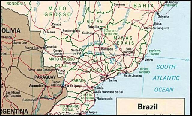
Here's a map of Brazil (in Portuguese, we write it with an "s", Brasil) A small dot shows Sao Paulo, and a bit further to the south (another 12 hours journey by bus), is Florianopolis. Blumenau is not visible, but its only a bit to the west fo Floripa, as it is known locally. It's amazing, but the borders of modern Brazil were already established in the 16th century or so. I still can't figure it out how this was done that long ago, as it is a huge country.
No comments:
Post a Comment